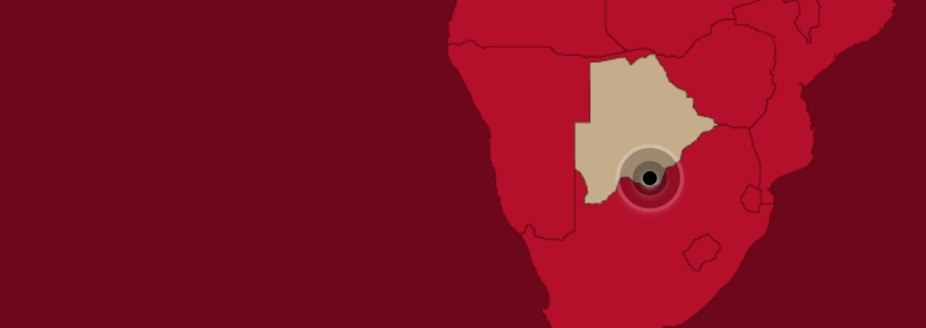
Location
Southern District of the Republic of Botswana, north of border of South Africa
North Arrow’s exploration programs are conducted under the direction of President and COO, Dr. John Armstrong, P.Geo., a Qualified Person under NI 43-101. Dr. Armstrong has reviewed and approved all information posted on this page that is of a scientific or technical nature.
Size
724 km2 covering the entire ~60km northern extension of the Kraaipan Greenstone Belt
Ownership
North Arrow earning 60% from Rockman Resources Ltd (“Rockman”) by spending US$5M in three years (can earn up to 80%)
Stage
Systematic grassroots / brownfields exploration of entire property
Closest Infrastructure
Paved and unpaved roads present throughout the project area; the town of Lobatse, located 30 - 65km east has 132 KV power, rail and airport access; the main 500KV power line is located 80 to 100km north
Project Location
(Interactive Map by Mining Hub)
Project Image Gallery (click to view)
Highlights
- Covers the entire ~60 km northern extension of the Kraaipan Greenstone Belt (“KGB”) in Botswana.
- On trend from the >3 million ounce Kalgold Mine in South Africa (historical production plus current resources); other significant greenstone belt related deposits in the area.
- > 80% of the KGB in Botswana is covered by Kalahari sands; very poor exposure for exploration; modern exploration techniques are allowing for assessment of previously overlooked areas.
- Completed 12 month / US $1 M program at the end of August 2025 as per earn-in agreement with Rockman.
- Program included UAV magnetic surveys over 85% of the property, structural analysis, target generation and testing of 16 target areas with 175 RC holes marking the first sytematic exploration of the KGB in Botswana.
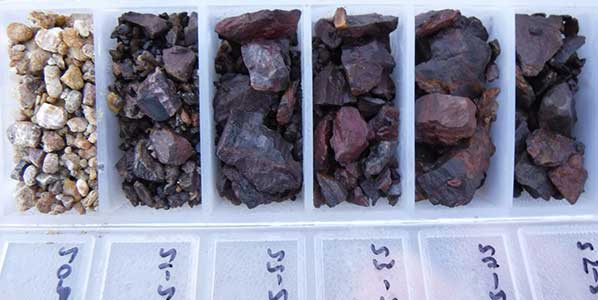
- Assay results from the 175 holes resulted in six areas with anomalous gold values either in the bedrock or in the overburden just above the bedrock (see press release dated November 4, 2025) that require follow-up.
- Drilling at Target 'A' produced the best intersection of the RC program yielding 1.56 g/t gold over 30 metres including 4.26 g/t over 4m (see press release dated November 4, 2025)
- Follow up delineation RC drilling will commence in Q1 2026.
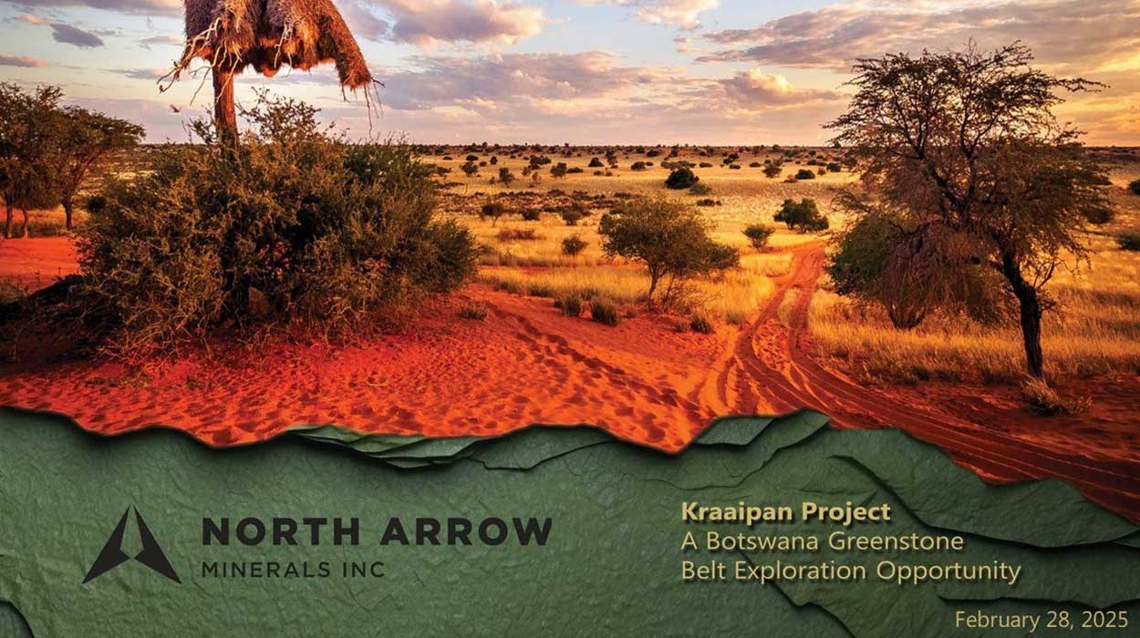
February 28, 2025: North Arrow and Kraaipan Gold Project Update Presentation - President and CEO, Ken Armstrong at the Red Cloud Pre-PDAC Conference
